Where Is Kazakhstan? Location, Geography & Key Facts
Kazakhstan is located in Central Asia, in the heart of the Eurasian continent. According to the CIA World Factbook, it is the world’s largest landlocked country, with no coastline on any ocean, and covers 2,724,900 km², making it the 9th largest country on Earth. Kazakhstan is bordered by Russia to the north, China to the east, Kyrgyzstan and Uzbekistan to the southeast and south, Turkmenistan to the southwest, and the Caspian Sea to the west.
Kazakhstan’s Exact Location on the Map
Coordinates: Approximately 48°N, 68°E (geographic center) Continent: Asia (Central Asia), with a tiny western sliver technically in Europe Region: Central Asia Hemisphere: Northern and Eastern
Kazakhstan sits almost precisely at the center of the Eurasian landmass, roughly equidistant between the Atlantic and Pacific Oceans. This central position made it a crossroads of civilizations for thousands of years and placed it along the ancient Silk Road trade routes that connected China to the Mediterranean.
If you are looking at a world map: find Russia. Then look directly south of Russia’s central section. The vast territory stretching from the Russian border down to the other Central Asian republics is Kazakhstan.
Kazakhstan’s Borders: All 5 Countries
| Neighbor | Border Length | Direction |
|---|---|---|
| Russia | 7,644 km | North |
| China | 1,783 km | East |
| Uzbekistan | 2,330 km | South |
| Kyrgyzstan | 1,212 km | Southeast |
| Turkmenistan | 413 km | Southwest |
| Caspian Sea | 1,894 km | West (maritime) |
According to CIA World Factbook data, the Kazakhstan–Russia border at 7,644 km is the second-longest land border in the world, after the United States–Canada border. For most of its length it crosses flat steppe with no mountains or rivers to define it, making it one of the world’s longest unmarked borders.
Kazakhstan is the only country in the world to border both Russia and China while being landlocked, a unique geopolitical position.
How Big Is Kazakhstan?
Kazakhstan covers 2,724,900 km², which puts it in remarkable context:
- 9th largest country in the world (roughly the same size as Argentina, larger than all of Western Europe combined)
- Largest landlocked country on Earth
- About 3 times the size of Texas
- About 4.5 times the size of France
- Larger than the entirety of Western Europe (approximately 2.4 million km²)
The country stretches approximately:
- 3,000 km from west to east
- 1,700 km from north to south
Since March 2024, Kazakhstan uses a single time zone: UTC+5 (Alma-Ata Time). Despite its vast east-west span, the government unified the country under one time zone. A domestic flight from Almaty (southeast) to Atyrau (west) takes nearly 3 hours.
Kazakhstan’s Capital and Major Cities
| City | Location in Kazakhstan | Population (approx. 2026) |
|---|---|---|
| Astana (capital) | North-center | ~1.3 million |
| Almaty (largest city) | Far southeast | ~2.2 million |
| Shymkent | South | ~1.2 million |
| Aktobe | West | ~560,000 |
| Karaganda | Central | ~510,000 |
| Turkestan | South | ~200,000 |
Almaty sits at the far southeastern corner, at the foot of the Tian Shan mountains, very close to the borders with Kyrgyzstan and China. Despite not being the capital, it remains Kazakhstan’s commercial, cultural, and international hub, accounting for roughly 20% of the country’s GDP.
Astana, the capital since 1997, is located in north-central Kazakhstan on the edge of the steppe. The location was chosen deliberately: closer to the geographic center of the country and the Russian border region, away from the earthquake-prone southeast.
See our complete guide to cities in Kazakhstan for more on each major city.
Kazakhstan’s Geographic Features
According to National Geographic, Kazakhstan is geographically diverse despite its steppe reputation:
Mountains
The Tian Shan (Heavenly Mountains) form the southeastern and eastern border with Kyrgyzstan and China. The highest point accessible from Kazakhstan is Khan Tengri at 7,010m, a technical peak that draws serious mountaineers. The immediate mountain backdrop of Almaty reaches 4,000m+ and is accessible within 30 minutes of the city center.
The Altai Mountains occupy the far northeast, along the Russian and Chinese borders — a dramatically different landscape of pine forests and glaciers.
The Kazakh Steppe
According to the World Wildlife Fund, the vast center and north of Kazakhstan is the Kazakh steppe, one of the world’s largest grassland ecosystems, covering over 800,000 km². This landscape defined Kazakh nomadic culture for millennia. See our full guide to the Kazakh steppe.
Deserts and Semi-Deserts
The south transitions to desert. The Betpak-Dala (Hungry Steppe) is a vast semi-desert in central Kazakhstan. The Kyzylkum Desert extends from Uzbekistan into southern Kazakhstan. The Mangystau region in the far west has an otherworldly desert landscape of canyons, underground mosques, and spherical rock formations.
The Caspian Sea Coast
Kazakhstan’s western coast along the Caspian Sea is home to the world’s largest oil fields (Tengiz, Kashagan, Karachaganak). The port city of Aktau is the base for exploring the Mangystau desert region and accessing Caspian ferry routes to Azerbaijan and Turkmenistan.
Major Rivers
- Irtysh. Flows north through eastern Kazakhstan into Russia and Siberia
- Syr Darya. Southern Kazakhstan; historically fed the Aral Sea
- Ural River. Western Kazakhstan; marks the traditional Europe-Asia boundary
- Ili River. Flows from China through southeastern Kazakhstan into Lake Balkhash
- Ishim. Flows through Astana northward to Russia
Lake Balkhash
Lake Balkhash is one of the world’s largest lakes (18th largest) and has a remarkable feature: its western half is fresh water and its eastern half is saline, separated by a narrow strait. At 16,400 km², it dominates the map of central Kazakhstan.
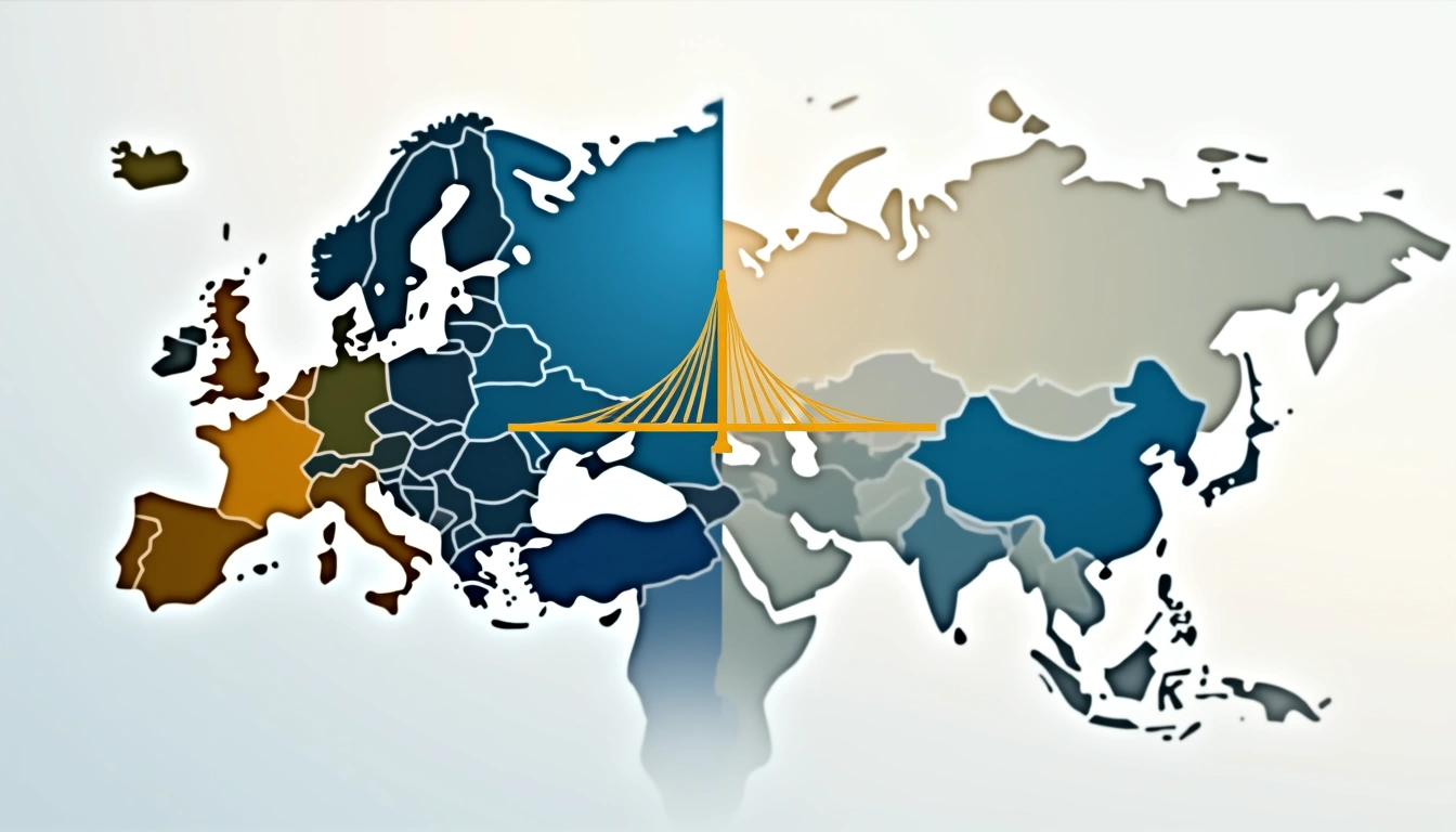
Is Kazakhstan in Europe or Asia?
Kazakhstan is in Asia — specifically Central Asia. Over 95% of its territory and all its major cities are east of the Ural River, the traditional Europe-Asia boundary. A small western portion around the Atyrau region is technically west of the Ural River, and thus in Europe geographically — but this is a tiny, sparsely populated area.
According to the UN Statistics Division geographic classification, Kazakhstan identifies as a Central Asian nation and is classified as Asian by all international organizations. See our full explanation: Is Kazakhstan in Europe?
Distance from Kazakhstan to Major World Cities
| City | Distance from Almaty (approx.) | Direct flight time |
|---|---|---|
| Moscow, Russia | 3,750 km | ~4 hours |
| Beijing, China | 3,650 km | ~5 hours |
| Istanbul, Turkey | 4,100 km | ~5.5 hours |
| Dubai, UAE | 3,800 km | ~5 hours |
| Delhi, India | 2,900 km | ~4 hours |
| London, UK | 5,750 km | ~7.5 hours |
| New York, USA | 10,200 km | ~14 hours (with stop) |
| Tokyo, Japan | 6,700 km | ~8 hours |
| Bangkok, Thailand | 5,200 km | ~7 hours |
Kazakhstan is closer to Beijing, Delhi, and Dubai than to London — its Central Asian geography is evident in these distances.
Getting to Kazakhstan: Airports and Access
Main International Airports
Almaty International Airport (ALA) — the primary gateway. As of 2026, Almaty handles most international traffic. Direct connections from: London (Air Astana), Frankfurt, Istanbul (Turkish Airlines), Dubai (flydubai, Air Arabia), Moscow, Beijing, Bangkok (Air Astana), Seoul, and more.
Astana International Airport (NQZ) — the capital’s airport, with a growing number of direct routes. Currently served by Air Astana, Turkish Airlines, and regional carriers.
Other airports: Aktau (Caspian, useful for Mangystau region), Shymkent (south), Oskemen (east).
Overland Borders
Kazakhstan has land border crossings with all five neighboring countries:
- Russia: Multiple crossings, used by overland travelers and freight
- China: Khorgos border crossing (near Almaty) — one of Central Asia’s busiest land ports
- Kyrgyzstan: Multiple crossings; Bishkek is only ~200km from Almaty
- Uzbekistan: Crossings near Shymkent; popular for Silk Road travelers
- Turkmenistan: Limited crossings; requires advance arrangements
Caspian Ferry
Aktau–Baku (Azerbaijan) ferry: The Caspian Sea ferry connects Kazakhstan to Azerbaijan — part of the Trans-Caspian International Transport Route. Unreliable schedules (arrive and wait); duration 12–30 hours depending on sea conditions.
For complete information on reaching Kazakhstan, see our flights to Kazakhstan guide.
Why Is Kazakhstan So Little Known?
Based on UN World Tourism Organization data, despite its massive size and rich culture, Kazakhstan is often overlooked by Western travelers. Several factors contribute:
- Soviet legacy. Closed to outsiders for 70 years; information flow was controlled
- Pronunciation. “Kazakhstan” is unfamiliar to English speakers (say: kaz-AHK-stan)
- Landlocked. No beach tourism to drive awareness
- Giant neighbors. Sits between Russia and China, both of which dominate media attention
- Borat effect. A 2006 comedy film created a wildly inaccurate perception that stuck
In reality, Kazakhstan is a safe, modern, increasingly accessible destination with extraordinary natural landscapes, rich nomadic culture, and a fascinating modern story of rapid development. As of 2026, it is visa-free for citizens of most Western countries. Discover what Kazakhstan is famous for in our dedicated guide.
Frequently Asked Questions
- Where is Kazakhstan located?
- Kazakhstan is located in Central Asia, in the heart of the Eurasian continent. It is the world's largest landlocked country at 2,724,900 km². It borders Russia to the north (7,644 km border), China to the east, Kyrgyzstan to the southeast, Uzbekistan to the south, and Turkmenistan to the southwest. Its western boundary is formed by the Caspian Sea.
- What continent is Kazakhstan on?
- Kazakhstan is on the Asian continent, in the Central Asian subregion. A tiny western sliver (around the Atyrau region, west of the Ural River) is technically in Europe, but over 95% of Kazakhstan's territory and all its major cities are in Asia. Kazakhstan is classified as an Asian country by all international organizations.
- What countries border Kazakhstan?
- Kazakhstan shares borders with five countries: Russia (7,644 km — north), China (1,783 km — east), Uzbekistan (2,330 km — south), Kyrgyzstan (1,212 km — southeast), and Turkmenistan (413 km — southwest). Its western boundary is formed by the Caspian Sea coast (1,894 km).
- Is Kazakhstan the largest country in Central Asia?
- Yes, Kazakhstan is by far the largest country in Central Asia. At 2,724,900 km², it is larger than the other four Central Asian countries combined (Uzbekistan, Tajikistan, Kyrgyzstan, and Turkmenistan). It is the world's 9th largest country and the largest landlocked country on Earth.
- How far is Kazakhstan from Russia?
- Kazakhstan shares a 7,644 km land border with Russia — the world's second-longest land border. The capital Astana is approximately 2,700 km from Moscow by air (about 4 hours). Almaty is about 3,750 km from Moscow (~4.5 hours flying). There are multiple daily direct flights between Russian cities and Kazakhstan.
- What is Kazakhstan near?
- Kazakhstan is closest to Russia (which it borders to the north), China (east), and the Central Asian republics of Uzbekistan, Kyrgyzstan, and Turkmenistan (south). The nearest major cities to Almaty are Bishkek, Kyrgyzstan (~200 km), Urumqi, China (~850 km), and Tashkent, Uzbekistan (~700 km). Kazakhstan is about 5 hours by air from Dubai, Istanbul, and Moscow.
More Stories
facts
Is Kazakhstan in Europe or Asia? The Definitive Answer
Is Kazakhstan in Europe? No — it's in Central Asia. A tiny western sliver crosses into Europe geographically, but 95%+ of the country is in Asia.
facts
Interesting Facts About Kazakhstan: 25+ Surprising Truths
Interesting facts about Kazakhstan — the largest landlocked nation, Baikonur space launches, origin of the apple, and 25+ surprising truths.
facts
Countries Ending in Stan: All 7 Explained
Countries ending in stan: all 7 nations explained — Kazakhstan to Pakistan. Population, GDP, area, maps and a detailed side-by-side comparison table.