Kazakh Steppe: Landscape, Wildlife and How to Visit
Reported from the ground: Tugelbay Konabayev is a Kazakh native (born in Aktobe) who has lived 7 years in Almaty and 4 in Astana. About the author.
In this article12 sections
The Kazakh steppe is a broad grassland zone, not one park with a gate, a single outline or one climate table. A Kazakhstan government overview classifies steppe as 26% of the country’s territory. Within that much larger landscape, Saryarka, Korgalzhyn and the UNESCO World Heritage property each name different places and boundaries.
For a first encounter, use Astana as the planning base and treat Korgalzhyn as a protected-area visit rather than a casual roadside wildlife drive. The reserve combines open steppe with the Tengiz-Korgalzhyn lake system, while the UNESCO property joins selected parts of Korgalzhyn and Naurzum. Access to the inscribed property is limited.
| Term | What it means in this guide | What it does not mean |
|---|---|---|
| Kazakhstan’s steppe zone | A broad land-cover category reported as 26% of national territory | One surveyed attraction called “the Kazakh Steppe” |
| Saryarka | A wider geographic and cultural name used in Central Kazakhstan | The exact boundary of every steppe landscape |
| UNESCO Saryarka property | A 450,344 ha serial property in Korgalzhyn and Naurzum reserves | All of Saryarka or all of Kazakhstan’s steppe |
| Korgalzhyn nature reserve | A 543,171 ha protected area with steppe and wetland ecosystems | An unrestricted drive-through park |
| Nationwide 2025 saiga count | A dated Kazakhstan-wide count of 3.9 million animals | A live 2026 estimate or a guaranteed sighting |
What is the Kazakh steppe?
It is the grassland part of a country that also contains semi-desert, desert, forest, mountains, rivers and lake systems. “Steppe” is therefore an ecological and geographic description, not a synonym for every open view in Kazakhstan.
The official national overview used here separates steppe, semi-desert and desert into different categories. That matters on a trip: an open wormwood plain, a dry plateau and a grass-rich northern landscape may all look spacious, but they do not have the same vegetation, water regime or conservation priorities.
The old version gave the steppe an 800,000 to 850,000 km² area, then compared it with countries and the entire Eurasian belt. It did not define the polygon behind those numbers. This guide retains the government’s broad 26% land-zone share and avoids converting that classification into false map precision.
Land status matters as much as vegetation. A steppe view may be inside a strict reserve, a national park, farmland, grazing land or an ordinary transport corridor. The horizon does not reveal whether stopping, walking, camping, flying a drone or leaving a road is permitted. Identify the named place and managing authority before applying advice from another part of Kazakhstan. This is also why the page recommends specific managed access rather than treating “the open steppe” as ownerless space.
Is Saryarka the same as the Kazakh steppe?
No. Saryarka is a wider regional name, while the UNESCO listing called “Saryarka - Steppe and Lakes of Northern Kazakhstan” has a precise serial boundary. The two should not be collapsed into one tourism label.
UNESCO records a 450,344 ha property made from protected areas in Naurzum State Nature Reserve and Korgalzhyn State Nature Reserve. More than 200,000 ha of that property is Central Asian steppe. The rest of the ecological story includes fresh and saline lakes, wetlands and migratory-bird habitat.
For visitor planning, the Kostanay guide keeps a city stay beside the Tobol separate from a confirmed protected-area journey to Naurzum. UNESCO status explains the ecological importance; it does not provide route permission or prove that a transfer is operating.
The full Korgalzhyn reserve is larger than the inscribed property: a July 2026 Ministry of Ecology page gives the reserve’s area as 543,171 ha. Those figures are not contradictory because the World Heritage property and the full reserve do not use the same boundary.
How do steppe, semi-desert and steppe-lake habitat differ?
Grass cover, exposed soil and water are more useful distinctions than the generic label “empty land.” Northern and central steppe can include dense grassland; semi-desert has sparser vegetation and more exposed ground; the Saryarka property protects steppe together with lake and wetland systems.
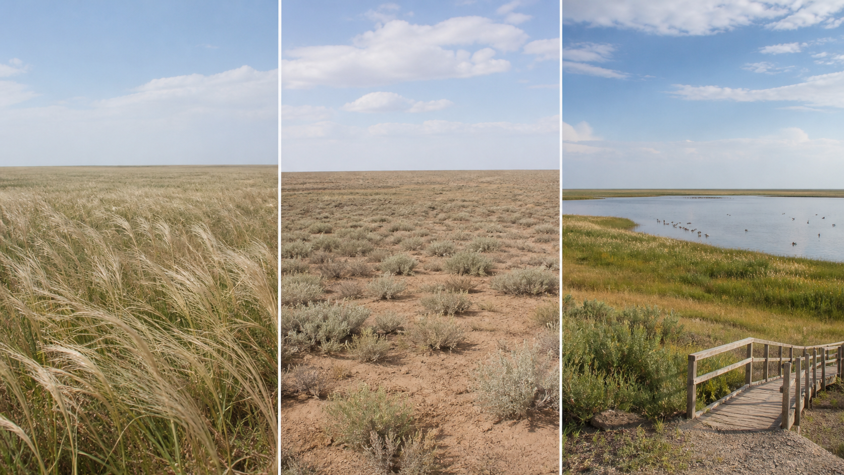
Conceptual comparison only: grass-rich steppe, a drier semi-desert transition and managed steppe-lake access. The panels are not a map and do not claim that these exact scenes sit side by side.
This distinction changes expectations. A protected wetland is not a stage set for close flamingo photographs, and a semi-desert road is not proof that Kazakhstan is “all steppe.” Use the Kazakhstan nature guide for the country’s other landscape zones and the national parks guide for places managed as parks rather than strict reserves.
Why is Korgalzhyn important?
Korgalzhyn protects a linked steppe and wetland system on major Eurasian bird routes. The Ministry of Ecology says the reserve was created in 1968 and identifies saline Lake Tengiz and freshwater Lake Korgalzhyn as its ecological core.
The same July 2026 source records 365 bird species, 46 mammal species and 443 higher-plant species in the reserve. It also identifies the world’s northernmost colony of greater flamingos. These are reserve-level biodiversity records, not a checklist a visitor will complete in one day.
UNESCO describes Korgalzhyn and Naurzum as complementary protected areas separated by about 350 km. Their wetlands serve as stopover and breeding habitat on Central Asian flyways, while their steppe sections protect flora and threatened birds. That combination, rather than one postcard animal, is the reason the serial property matters.
Bird numbers and locations change with water conditions and migration. The reserve’s species inventory establishes ecological richness, but it does not tell a traveler which species will be visible on a particular date or route. Ask what habitats an authorized visit actually reaches, then treat every sighting as contingent rather than included inventory.
What does the current saiga evidence show?
Kazakhstan’s official 2025 count reached 3.9 million saiga, but the number is national and dated. It replaces the old article’s unsupported 1.3 to 1.5 million “2025-2026” estimate.
The Ministry of Ecology published the figure on June 11, 2025 after a meeting with the CITES secretariat. The same release describes growing conflict between wildlife and agriculture in some regions and calls for scientifically grounded, ecologically responsible management. Recovery is therefore not a simple “problem solved” story.
Do not turn the national count into a Korgalzhyn sighting promise. Saiga move across large ranges, and their location, distance, protection measures and seasonal behavior are not established by this page. Never ask a driver to chase, surround or leave an authorized route for wildlife.
How can travelers visit the steppe from Astana?
The most legible protected-area plan is Korgalzhyn, about 130 km from Astana, with access confirmed before departure. A Kazakhstan foreign-ministry travel overview gives the distance, while UNESCO states that visitor access to the World Heritage property is limited.
Before committing money or a day of the itinerary, confirm:
- whether the reserve or visitor center is receiving visitors on your date;
- which route is authorized and whether a reserve guide is required;
- what transport is included and where the surfaced-road segment ends;
- the cancellation rule for weather, road or conservation restrictions;
- whether birding equipment, food, water and toilets are provided;
- current photography and drone rules.
Do not reuse a blog’s fixed drive time as a promise. Road works, meeting points, stops and local conditions change. The Astana guide helps with the city base; the Kazakhstan attractions guide compares Korgalzhyn with other first-trip regions.
Can you experience the steppe without entering a reserve?
Yes. Long-distance rail and highway journeys reveal scale, settlement patterns and changing vegetation without pretending every view is protected wilderness. The experience is observation, not unrestricted access to surrounding land.
From a train, note how grass cover, cultivated fields, lakes, small settlements and open horizons change over hours. From a car, use legal, safe stopping places. Do not stop on a high-speed shoulder, cross fences, enter farmland, drive onto soft ground or assume an unmarked track is public.
An ordinary road or rail view can be more honest than a staged “nomad experience.” If a product includes a yurt, horse ride or household visit, ask who hosts it, what is included and whether photography is welcome. The Kazakh yurt guide explains the dwelling without treating every modern family as a tourism exhibit.
When is the best time to visit?
Choose by the specific route, wildlife interest and same-week forecast, not one climate table for the entire steppe. The old page published universal temperatures, wind speeds, frost-free days and “avoid” months without a defined weather station or reference period.
Spring can offer fresh growth and active bird migration, but wet ground and road conditions may restrict a route. Early autumn can bring open views and cooler days, but migration timing and vegetation vary. Summer heat, winter cold, wind and rapid weather changes all require a location-specific check.
For any remote outing, carry water, offline navigation, sun and wind protection, a charged phone and a return plan. Share the route and expected return time. The broader travel tips guide covers communications, transport and emergency planning.
How should history and nomadic culture be explained?
The steppe shaped mobility, pastoral economies and political history, but it should not be used to compress thousands of years into one heroic origin story. Archaeology, medieval states, the Kazakh Khanate, Soviet collectivization and modern conservation are separate subjects with different evidence.
The old article declared that modern horse domestication began at Botai, called later cultures successive “masters” of the landscape and bundled famine, the Virgin Lands campaign, oil, wheat and renewable energy into a single triumph-and-conquest narrative. Those claims need more space and source care than a visitor landscape guide can provide.
Use the Kazakhstan history timeline for chronology and the culture guide for language, music, hospitality and contemporary life. Neither guide requires a modern person to represent an ancient nomadic archetype.
How should visitors photograph wildlife and local life?
Distance and permission matter more than a dramatic image. A telephoto view that does not change an animal’s behavior is better than approaching a nest, herd or shoreline.
- Stay on the route set by the reserve or guide.
- Do not feed, call, chase or surround wildlife.
- Keep sound low near wetlands and bird concentrations.
- Ask before photographing residents, workers, homes, livestock or ceremonies.
- Do not publish precise locations for nests or sensitive wildlife from casual observation.
- Take all litter out and follow current fire restrictions.
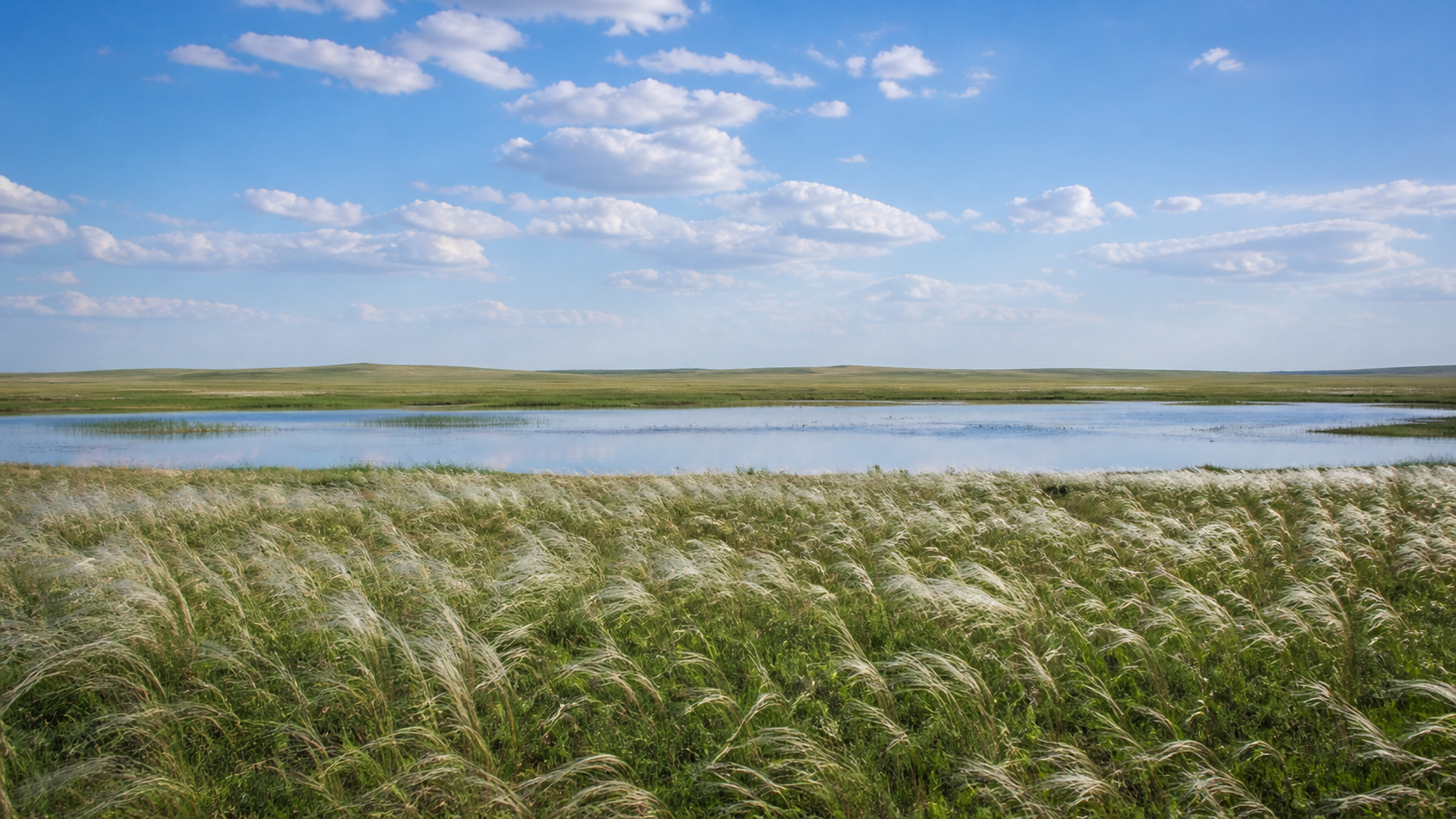
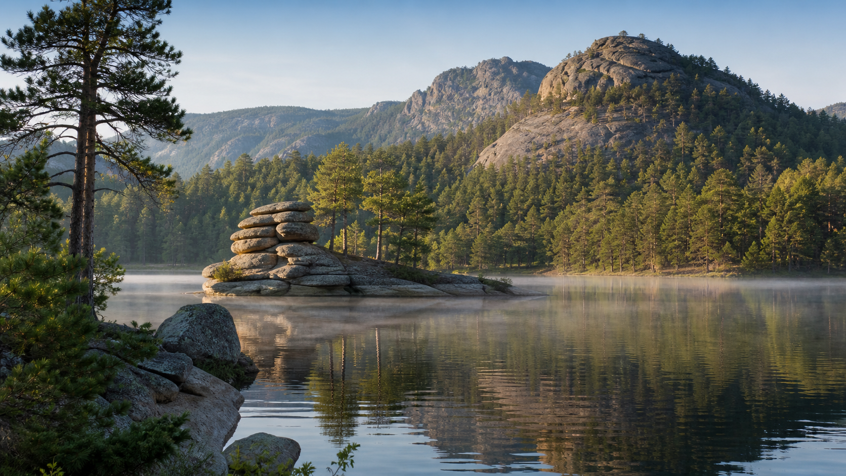
The generated hero and triptych on this page are editorial illustrations. Neither is a record of a particular reserve visit, a habitat map or evidence that a named species was present.
Build the day around observation rather than distance covered. Before departure, agree on the legal route, stopping places, turnaround time and the conditions that would cancel the outing. At each stop, first scan from the vehicle or established path. If birds or mammals change direction, stop feeding or repeatedly look toward the group, increase the distance instead of waiting for a closer frame. A guide should be able to explain which areas are open, which are seasonal and why the route avoids a sensitive location.
Keep a simple field note with the date, approximate public area, weather and whether the identification came from the guide or your own observation. Do not convert a tentative sighting into a species claim in a caption. When sharing images, crop location metadata for sensitive wildlife and avoid presenting a roadside view as a protected-reserve visit. These habits produce a more accurate trip record while reducing pressure on animals, habitats and residents.
Sources
Six exact official sources define the retained figures and their limits. Four Firecrawl packs total 10/10 required chunks, unread 0, integrity-valid. Two GOV.KZ pages that timed out in Firecrawl were read only through the permitted same-URL fallback.
- GOV.KZ: national overview with the 26% steppe-zone share (
[FALLBACK:FIRECRAWL_SAME_URL method=curl]) - Forestry Committee: protected areas and the Saryarka components
- Ministry of Ecology: Kazakhstan’s 2025 saiga count
- Ministry of Ecology: Korgalzhyn reserve history and biodiversity
- UNESCO: Saryarka - Steppe and Lakes of Northern Kazakhstan
- GOV.KZ: Korgalzhyn orientation from Astana (
[FALLBACK:FIRECRAWL_SAME_URL method=curl])
WWF, Britannica, Wikipedia, a generic WMO homepage, commercial tour pages and search previews were not retained as evidence.
FAQ: Kazakh steppe
The short answers keep broad landscape, protected boundaries and dated wildlife counts separate.
Frequently Asked Questions
How much of Kazakhstan is steppe?
A Kazakhstan government overview published in 2024 classifies steppe as 26% of national territory. Treat that as a broad land-zone share, not a precise polygon for one attraction or proof of the old 800,000 to 850,000 square-kilometer range.
Is all of Saryarka a UNESCO World Heritage Site?
No. The UNESCO property is a specific 450,344-hectare serial site in Korgalzhyn and Naurzum state nature reserves. It includes more than 200,000 hectares of Central Asian steppe but does not cover all of Saryarka or all of Kazakhstan's steppe.
How many saiga are in Kazakhstan?
The official nationwide 2025 count was 3.9 million. It is a dated national figure, not a live 2026 estimate, a reserve-level count or a guarantee that a traveler will see saiga.
Can tourists visit Korgalzhyn Nature Reserve?
Visits are possible through managed arrangements, but UNESCO describes access to the World Heritage property as limited. Confirm the receiving date, authorized route, guide requirement, transport and current photography rules before departure.
How far is Korgalzhyn from Astana?
An official Kazakhstan travel overview places the reserve about 130 km from Astana. That is a distance orientation, not a fixed drive-time promise; road, meeting and route conditions should be checked for the travel date.
What is the best season for the Kazakh steppe?
There is no single answer for the entire zone. Spring can suit fresh growth and migration interests, while early autumn can bring cooler conditions. Check the exact route, reserve access, road state and same-week forecast rather than relying on a national climate table.
Last verified: 22 August 2026. Wildlife counts, reserve access, road conditions and tour permissions should be checked again for the travel date.
Google Preferred Sources
See more Kazakhstan stories in Google
Add About Kazakhstan as a preferred source to find more of our fresh, relevant stories in Google Search.
More Stories
nature
Altyn-Emel National Park: Routes, Basshi & Access Guide
Plan Altyn-Emel from Almaty: choose the Singing Dune, Aktau-Katutau or Besshatyr route, check live park fees and decide where to stay.
nature
Big Almaty Lake: The Turquoise Lake 30 Minutes from the City
Big Almaty Lake guide - how to get there from Almaty, best time for turquoise color, hiking, and tips for a half-day mountain trip.
nature
Burabay, Kazakhstan: Lakes, Trails & Trip Planning
Plan a Burabay escape around one flexible park day, live weather and access checks, lake viewpoints, marked trails, hotels, and a safe return.
nature
Charyn Canyon Guide: Valley of Castles & Access
Plan Charyn Canyon from Almaty: Valley of Castles route, weather, safety, current park-access checks, and responsible travel advice.
Plan the Next Step
travel
Kazakhstan Tourist Attractions: Choose the Right First-Trip Route
Compare Kazakhstan tourist attractions by base and logistics: Almaty nature, Turkestan heritage, Mangystau, Astana, Baikonur, and more.
food
Beshbarmak Recipe: How Kazakh Et Is Served
A source-checked guide to Kazakh et, widely called beshbarmak: what is on the platter, a practical home recipe, regional differences, and guest etiquette.
culture
Women in Kazakhstan: Rights, Work and Daily Life in 2026
Source-checked guide to women in Kazakhstan: current legal rights, dated work and wage data, marriage statistics, safety, and respectful language.
nature
Lake Balkhash Travel Guide: Two Waters, One Lake
A source-checked Lake Balkhash guide: why west and east differ, Kazakhstan's 2026 water update, a realistic trip plan, and swimming and fishing boundaries.
nature
Mangystau, Kazakhstan: Routes, Seasons and Trip Costs
Plan a Mangystau expedition from Aktau with current route, season, operator, sacred-site, safety and quote-check guidance for 2026.
nature
Big Almaty Lake: The Turquoise Lake 30 Minutes from the City
Big Almaty Lake guide - how to get there from Almaty, best time for turquoise color, hiking, and tips for a half-day mountain trip.

Travel Writer & Local Expert · Almaty, Kazakhstan
Tugelbay Konabayev is a Kazakhstan-based travel writer who has lived in Almaty for 7+ years and Astana for 4+ years. He grew up in Aktobe, Kazakhstan and has covered Kazakh travel, food, culture, and visa policy with first-hand reporting since 2023.