Kazakhstan Hiking: 12 Best Trails With Difficulty and Costs
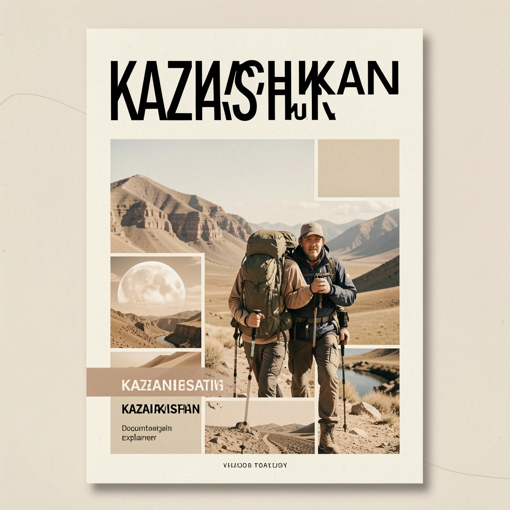
Kazakhstan has over 50 marked hiking trails across the Tian Shan, Altai, and Jungar Alatau ranges, with the 12 best trails ranging from 2-hour day walks near Almaty to 7-day wilderness treks through passes above 4,000 meters. Trail access is free in most areas (national park entry $1-3), no permits are needed except within 25 km of international borders, and the hiking season runs from June through September at high elevation. For a country covering 2.7 million square kilometers, Kazakhstan’s trails remain remarkably uncrowded. You can hike for days without seeing another person outside the popular routes near Almaty.
Best Trails Near Almaty (Zailiysky Alatau)
The northern Tian Shan range rises directly behind Almaty, putting world-class hiking within 30 minutes of the city center. These trails suit every fitness level.
1. Kok-Zhailau Meadow
| Detail | Info |
|---|---|
| Distance | 11 km round trip |
| Elevation | 1,500 - 2,300 m |
| Difficulty | Easy-Moderate |
| Duration | 3-4 hours |
| Trailhead | Medeu road (bus 12 from Almaty) |
The most popular day hike from Almaty. A wide path climbs through apple orchards and spruce forest to an alpine meadow at 2,300 m with views of Almaty below and glaciated peaks above. Wildflowers cover the meadow in June and July. No technical skills needed.
2. Big Almaty Lake Trail
| Detail | Info |
|---|---|
| Distance | 14 km round trip (from gate) |
| Elevation | 1,700 - 2,511 m |
| Difficulty | Moderate |
| Duration | 5-6 hours |
| Trailhead | Big Almaty Lake road gate |
The trail follows the road to Big Almaty Lake, a glacial lake that shifts between turquoise and emerald depending on light and season. 4WD vehicles can drive to the lake, but hiking gives you the full experience. Steep final section. Bring water and sun protection.
3. Furmanov Peak
| Detail | Info |
|---|---|
| Distance | 16 km round trip |
| Elevation | 1,500 - 3,053 m |
| Difficulty | Moderate-Hard |
| Duration | 6-8 hours |
| Trailhead | Kok-Zhailau trail junction |
A proper mountain summit accessible as a long day hike. The last 300 meters involve scrambling over loose rock. Panoramic 360-degree views from the top. Start early (6-7am) to avoid afternoon clouds.
4. Butakovka Waterfall
| Detail | Info |
|---|---|
| Distance | 6 km round trip |
| Elevation | 1,400 - 1,700 m |
| Difficulty | Easy |
| Duration | 2-3 hours |
| Trailhead | Butakovka village (taxi from Almaty $5) |
A shaded forest trail to a 20-meter waterfall. Family-friendly, no scrambling required. Best visited April through October when water flow is strongest.
Multi-Day Treks
5. Kolsai Lakes Trek
| Detail | Info |
|---|---|
| Distance | 30 km total |
| Elevation | 1,818 - 2,700 m |
| Difficulty | Moderate |
| Duration | 2-3 days |
| Base | Saty village (300 km from Almaty) |
| Camping | Wild camping allowed, designated sites at Lake 1 |
Three alpine lakes stacked at increasing elevations. Day 1: hike to Lake 1 (1,818 m), camp. Day 2: continue to Lake 2 (2,252 m), the most scenic. Day 3 (optional): Lake 3 (2,700 m) requires crossing a ridge. Each lake is a different shade of blue-green.
6. Turgen Gorge to Kaindy Lake
| Detail | Info |
|---|---|
| Distance | 25 km total |
| Elevation | 1,400 - 2,000 m |
| Difficulty | Moderate |
| Duration | 2 days |
| Base | Turgen village (90 km from Almaty) |
Follows the Turgen River through a narrow gorge past 7 waterfalls (the 30-meter Bear Waterfall is the highlight), then climbs to Kaindy Lake where sunken spruce trees stand vertically in clear turquoise water. Often combined with a day trip from Almaty.
7. Aksai Gorge to Ozerniy Pass
| Detail | Info |
|---|---|
| Distance | 40 km |
| Elevation | 1,500 - 3,300 m |
| Difficulty | Hard |
| Duration | 3-4 days |
| Trailhead | Aksai village (west of Almaty) |
| Permit | Border zone permit needed (free, apply 10 days ahead) |
A serious mountain trek crossing a 3,300 m pass between two Almaty valleys. Glacial rivers, alpine lakes, and potential snow at the pass even in August. Requires proper gear and navigation skills. No marked trail on some sections.
Trails in Other Regions
8. Altyn-Emel Singing Dune
| Detail | Info |
|---|---|
| Distance | 8 km round trip |
| Elevation | 600 - 750 m (desert) |
| Difficulty | Easy (but hot) |
| Duration | 3-4 hours |
| Base | Altyn-Emel National Park (250 km from Almaty) |
Walk across flat desert to the base of a 150-meter singing sand dune, then climb to the ridge. The sand produces a low humming sound when disturbed. Early morning or late afternoon to avoid midday heat. Carry 3+ liters of water.
9. Charyn Canyon Valley of Castles
| Detail | Info |
|---|---|
| Distance | 5 km loop |
| Elevation | 900 - 1,000 m |
| Difficulty | Easy |
| Duration | 2-3 hours |
| Base | 200 km east of Almaty |
Walk along the canyon floor between 150-meter red sandstone walls. The formations resemble medieval castles and towers. One of the most photogenic short hikes in Central Asia.
10. Burabay National Park (near Astana)
| Detail | Info |
|---|---|
| Distance | Various (3-15 km) |
| Elevation | 300 - 600 m |
| Difficulty | Easy-Moderate |
| Duration | 2-6 hours |
Pine forests, granite outcrops, and lakes in the flat steppe 250 km north of Astana. Multiple marked trails around Burabay Lake and Okzhetpes rock. A good option if you are based in the capital and cannot reach the Tian Shan.
11. Altai Mountains (East Kazakhstan)
| Detail | Info |
|---|---|
| Distance | Variable |
| Elevation | 1,500 - 3,500 m |
| Difficulty | Hard |
| Duration | 5-7 days |
| Base | Ridder or Ust-Kamenogorsk |
Remote wilderness trekking in Kazakhstan’s section of the Altai range. No marked trails, no infrastructure. Glacial valleys, alpine tundra, and genuine solitude. Requires GPS navigation, full camping equipment, and ideally a local guide. This is true backcountry.
12. Khan Tengri Base Camp
| Detail | Info |
|---|---|
| Distance | 50 km |
| Elevation | 2,800 - 4,100 m |
| Difficulty | Very Hard |
| Duration | 5-7 days |
| Season | July-August only |
| Cost | $1,500-3,000 (guided expedition) |
The approach trek to the base of Khan Tengri (6,995 m), Kazakhstan’s highest peak on the Kyrgyz border. Crossing the Inylchek Glacier. Not a casual hike, this is mountaineering territory requiring ice axes and crampons. Companies like Kan Tengri operate guided expeditions from Almaty.
When to Hike
| Elevation | Best Months | Conditions |
|---|---|---|
| Below 2,000 m | May-October | Snow-free, wildflowers May-June |
| 2,000-3,000 m | June-September | Snow possible in June, clearest July-August |
| Above 3,000 m | July-August | Short window, snow/ice possible year-round |
| Desert (Altyn-Emel, Charyn) | March-May, Sep-Oct | Avoid summer heat (40C+) |
The best time to visit Kazakhstan for hiking is July and August, when all trails are accessible and weather is most stable.
Costs
| Item | Budget | Mid-Range |
|---|---|---|
| National park entry | $1-3 | $1-3 |
| Guesthouse (per night) | $15 | $30 |
| Guide (per day) | - | $40-80 |
| Transport from Almaty | $5-15 (shared) | $50-80 (private) |
| Gear rental (tent + bag) | $10/day | $20/day |
A 3-day self-guided trek to Kolsai Lakes costs about $50-80 total (transport + park entry + food). Guided multi-day treks run $100-200/day all-inclusive.
Gear and Preparation
Essential for day hikes: water (2L minimum), sun protection, rain jacket, snack, offline maps (Maps.me or OsmAnd), basic first aid kit.
Essential for multi-day treks: tent, sleeping bag rated to -5C (summer high altitude), stove + fuel, water filter or purification tablets, headlamp, trekking poles.
Gear rental in Almaty: Several shops near the Medeu cable car station rent tents, sleeping bags, and packs for $5-15/day. Silk Way Adventure and Steppe and Sky are recommended outfitters.
Safety
- Mountain weather changes fast. Carry rain gear even on clear mornings.
- Rivers swell with snowmelt in June and early July. Cross in the morning when flow is lowest.
- Altitude sickness is possible above 3,000 m. Ascend gradually, hydrate, and descend if you feel symptoms.
- Cell coverage drops to zero outside the Almaty suburbs. Always tell someone your route and expected return.
- Snakes exist in desert areas (Altyn-Emel, Charyn) but are not aggressive. Watch where you step.
Frequently Asked Questions
Getting Started
The simplest way to start hiking in Kazakhstan: fly to Almaty, take bus 12 to Medeu, and walk to Kok-Zhailau meadow. You need nothing more than water, sunscreen, and comfortable shoes. From there, graduate to Big Almaty Lake, then Furmanov Peak, then multi-day treks to Kolsai or Turgen. The mountains scale from casual to serious, and the infrastructure around Almaty makes the entry barrier remarkably low for a Central Asian destination.
More Stories
nature
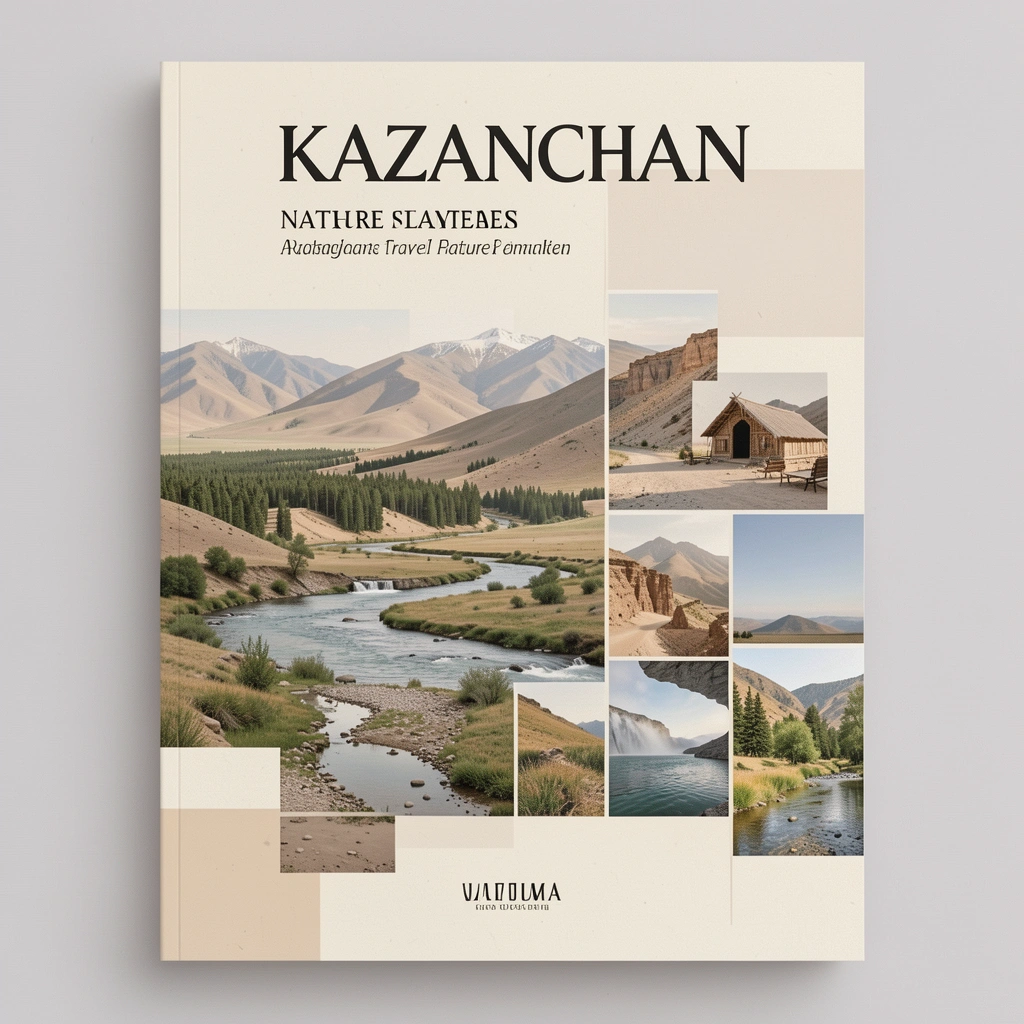
Kazakhstan Nature: 12 Stunning Landscapes You Must See
Explore Kazakhstan's nature from the Altai Mountains to the Caspian shore. National parks, lakes, canyons, steppes, and the best times to visit each region.
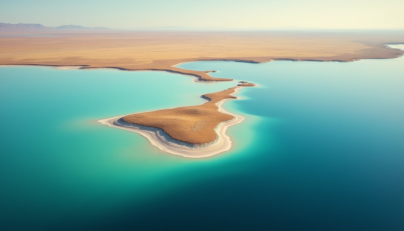
nature
Lake Balkhash: Kazakhstan's Two-Toned Natural Wonder
Lake Balkhash is Central Asia's largest lake after the Aral Sea, famous for its half-fresh, half-salt water. Discover wildlife, travel tips, and ecology.
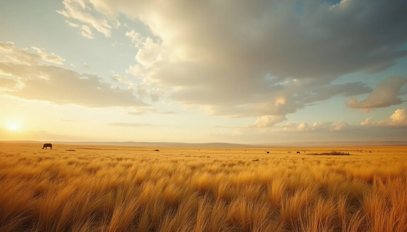
nature
Kazakh Steppe: World's Largest Grassland — Complete Guide
The Kazakh steppe covers 800,000+ km² — larger than France and Germany combined. History, wildlife, nomadic culture, and how to experience it today.