Kazakhstan Mountains: Regions, Hikes & Safety (2026)
Reported from the ground: Tugelbay Konabayev is a Kazakh native (born in Aktobe) who has lived 7 years in Almaty and 4 in Astana. About the author.
In this article11 sections
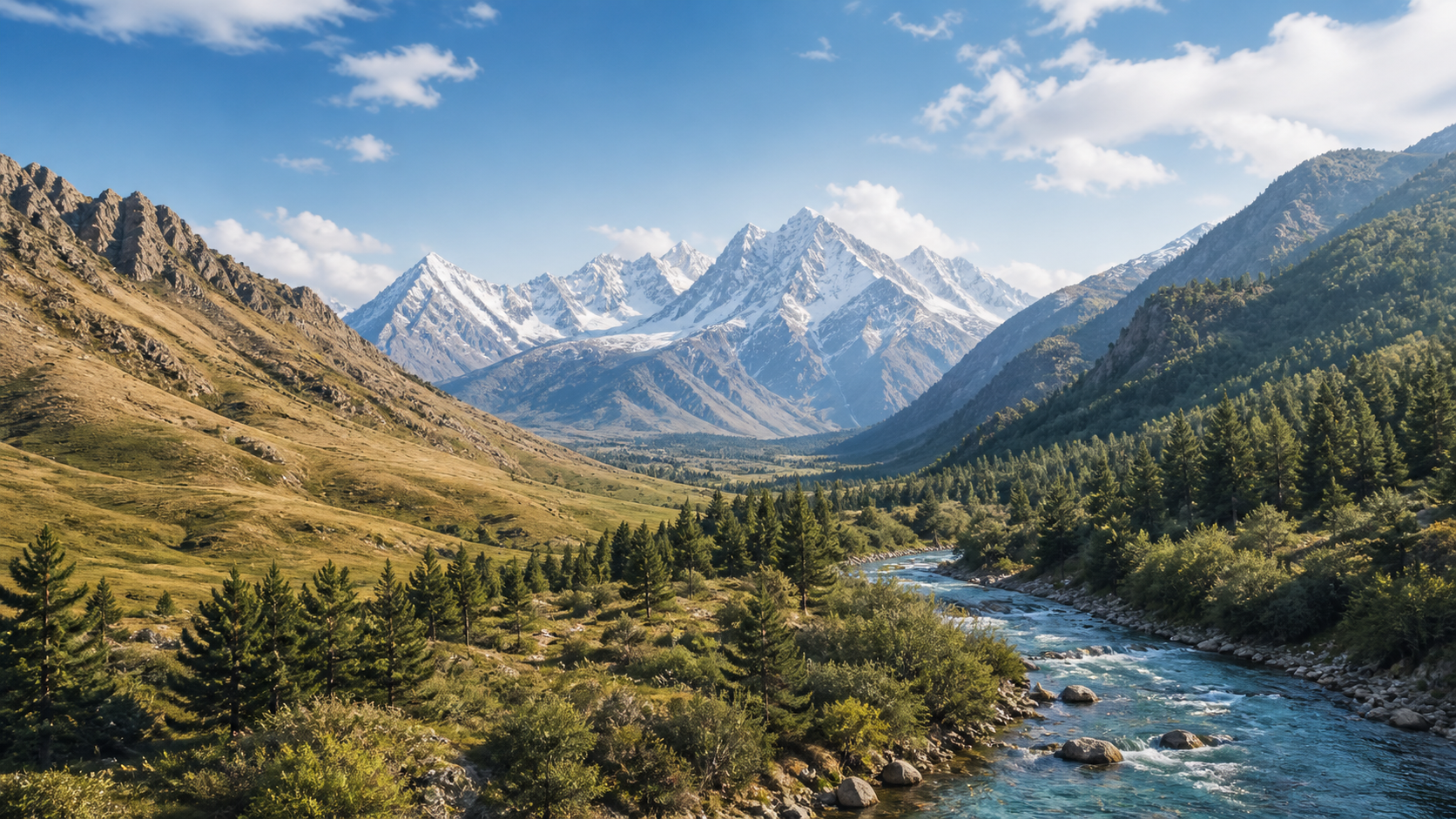
Choose Kazakhstan’s mountains by logistics before choosing a peak. For a short first trip, Almaty and the Trans-Ili Alatau provide the easiest access to marked day hikes, lifts, guides, and accommodation. The Western Tian Shan suits travelers based around Shymkent; the Altai and Dzungarian Alatau reward extra days, local transport, and more conservative planning.
Kazakhstan is not one mountain destination. Its ranges are separated by long distances, and a route that looks close on a national map may require a flight and a full road day.
Which region fits your trip?
| Region | Best for | Practical base | Main constraint |
|---|---|---|---|
| Trans-Ili Alatau / Ile-Alatau National Park | First mountain trip, day hikes, skiing, guides | Almaty | Crowded trailheads, fast weather changes, route-specific access rules |
| Kolsai–Kungey Alatau area | Lakes, guesthouses, moderate walks | Saty village | Long road transfer and busy peak dates |
| Western Tian Shan / Sairam-Ugam | Lower-traffic trekking and biodiversity | Shymkent or nearby villages | Heat at low elevation, route registration, limited transport |
| Dzungarian (Zhetysu) Alatau | Itinerary-led remote travel | Exact gateway in itinerary | Confirm trailhead, transport, land manager, and border status |
| Kazakhstan Altai | Regional itinerary with remote legs | Named settlement and trailhead | Confirm roads, lodging, communication, and a turnaround plan |
| Central Tian Shan high mountains | Expedition mountaineering | Specialist operator logistics | Glaciers, altitude, border formalities, and technical climbing |
If you have two or three days, do not combine Almaty, Kolsai, and the Altai. Pick one base and preserve a weather day.
Mountain systems, without the map confusion
Kazakhstan’s mountain names overlap because a large system contains smaller ranges, parks, valleys, and tourism brands. “Tian Shan,” “Trans-Ili Alatau,” “Ile-Alatau National Park,” and “the Almaty mountains” can describe related but non-identical areas.
Tian Shan
The Tian Shan extends across several Central Asian countries. In Kazakhstan, its branches include the Trans-Ili Alatau south of Almaty and the Western Tian Shan in the south. UNESCO’s Western Tien-Shan World Heritage property is a transnational natural site; it does not mean the entire Tian Shan range is one park or one visitor zone.
Do not turn a general Tian Shan itinerary into a claim that a famous summit is nearby or accessible. High Central Tian Shan objectives belong to specialist expeditions, not to an ordinary trekking add-on.
Trans-Ili Alatau
The Trans-Ili Alatau rises immediately south of Almaty. The official Ile-Alatau National Park describes a 200,160-hectare protected area with steppe, forest, alpine meadow, lakes, glaciers, and peaks. The park lists hiking, camping, climbing, skiing, cycling, riding, birdwatching, and other activities, but that list is not a guarantee that every route is open today.
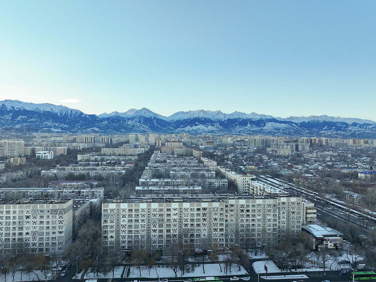
This is the right region when you want a city base and several independent day options. It is also where visitors most often underestimate elevation and afternoon weather because the skyline looks close.
Western Tian Shan
The Western Tian Shan around southern Kazakhstan has a different character: lower approach elevations can be hot, while upper valleys and ridges remain alpine. Sairam-Ugam National Park’s own website places its three clusters in the Western Tian Shan and Talas Alatau. The same page says passports for 11 tourist routes were approved in 2008 and provides a trip-application link. That is evidence of the park’s route system, not proof that all 11 routes are operating on your date.
Use Shymkent as a transport and supply hub, then confirm the trail, entry point, local guide, and registration process with the park. A generic “Western Tian Shan trek” can refer to several protected areas in more than one country.
Dzungarian Alatau
The Dzungarian or Zhetysu Alatau is usually proposed as a remote, logistics-heavy alternative to the main Almaty trail network. Treat that description as a reason to demand a precise itinerary, not as enough information to depart.
Allow time for road uncertainty, arrange a driver who understands the trailhead, and verify whether the chosen valley enters a border zone. Do not rely on an old blog’s statement that no permit was needed for a different route.
Altai
An itinerary sold simply as “the Kazakhstan Altai” still needs a named protected area, settlement, trailhead, transport plan, and turnaround point. It is a regional journey rather than one interchangeable trailhead.
Build the itinerary around a named arrival hub, current road conditions, local accommodation or expedition support, and a realistic turnaround point. A satellite communicator is more useful here than a list of ten peaks you cannot reach in one trip.
Best day-hike strategy near Almaty
A safe Almaty day hike matches elevation gain and terrain to a confirmed route home. Do not choose by social-media image alone; check surface, transport, weather, and an exit plan.
| Day type | Suitable plan | Decision check |
|---|---|---|
| Easy acclimatization | Medeu–Shymbulak area walks or a lower gorge route | Can you return by lift, bus, or taxi if weather turns? |
| Moderate hike | A defined ridge or waterfall route with a known trailhead | Is the descent obvious and below your technical limit? |
| High day | Upper-station or alpine route with early start | Have you already spent time at elevation? |
| Winter outing | Maintained resort area or guided snow route | Do you have a current avalanche assessment? |
Big Almaty Lake is a protected water-supply area, not an unrestricted picnic lake. Road, checkpoint, vehicle, walking, and shoreline rules have changed repeatedly. Check the responsible authority or park immediately before going; a driver’s willingness to take you is not proof of legal access.
For named routes, our Kazakhstan hiking guide provides a separate planning framework.
If lakes are the purpose of the trip, use the Kolsai Lakes guide to compare the longer road transfer with a mountain day based in Almaty. They are different trip shapes, even when both are advertised as easy excursions from the city.
Seasons: use elevation, not a fixed calendar promise
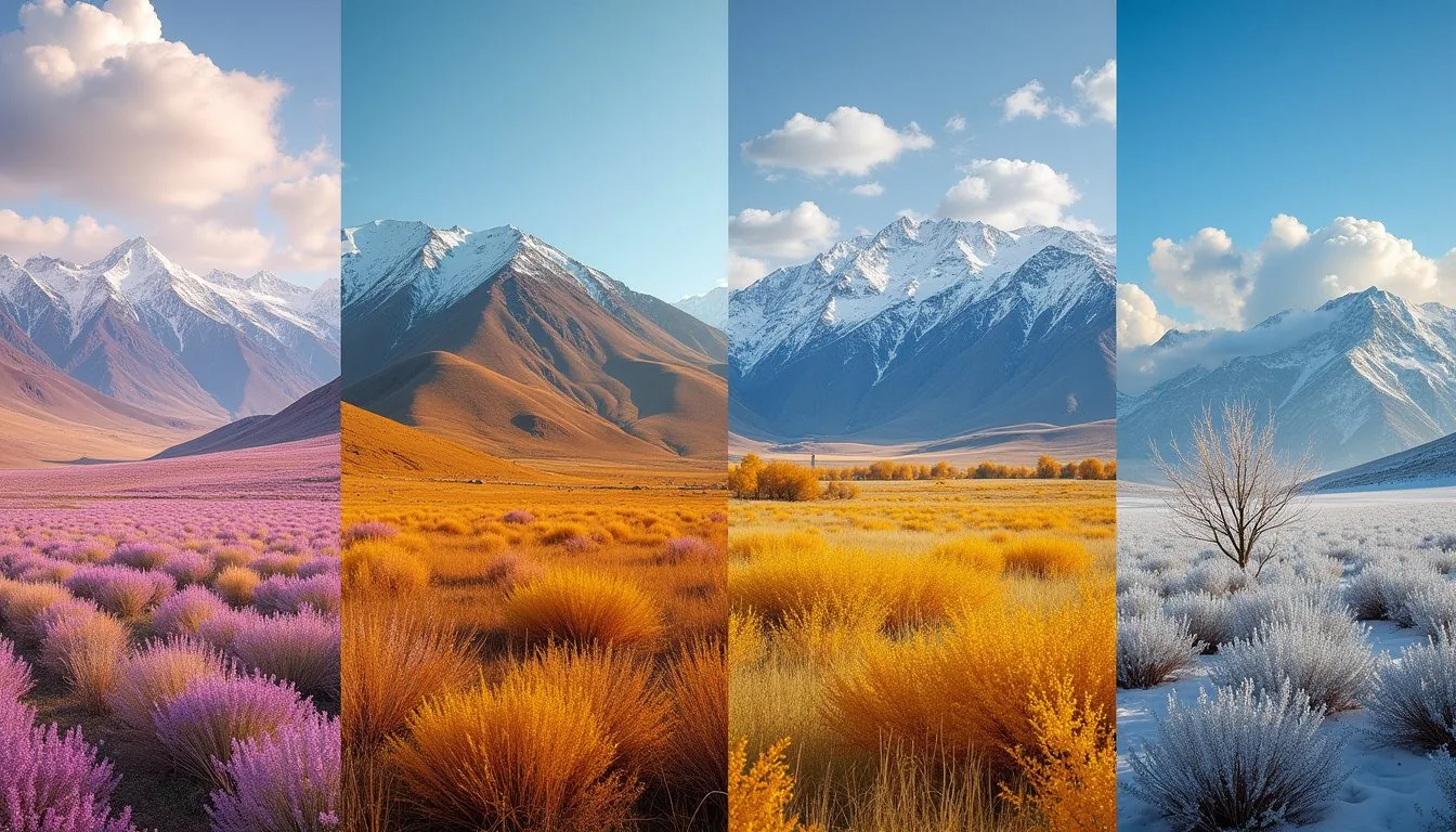
An evergreen month-by-month table can create false confidence. Kazakhstan’s mountain areas span different latitudes, elevations, and exposure, while snowpack, storms, fire restrictions, streams, roads, and lifts vary by year.
For any proposed date, ask three separate questions:
- Approach: Is the road or public transport running, and can the vehicle return after rain or snow?
- Trail elevation: Is the route dry ground, lingering snow, ice, or active avalanche terrain at its highest and most shaded sections?
- Exit: How much daylight remains after the turnaround time, and what closes first: a gate, lift, bus, or safe weather window?
Check a forecast for the route elevation, not only the nearest city. A warm Almaty or Shymkent forecast does not describe an exposed ridge or upper valley.
A five-step access check
Access is route-specific, so complete five checks 24–72 hours before departure:
- Responsible land manager: national park, reserve, resort, water-protection authority, or border service.
- Current route status: closures, fire restrictions, snow, bridge damage, lift operations, or checkpoint changes.
- Entry and border rules: ticket, registration, guide requirement, passport, and processing time for this exact valley.
- Transport out: return driver, last lift, last bus, road gate, and a fallback if the route takes longer.
- Emergency plan: share the route and return time; carry offline mapping, insulation, water, first aid, light, and a charged phone.
Do not publish one “Kazakhstan hiking permit price.” Fees and rules depend on the protected area, nationality, vehicle, route, and date.
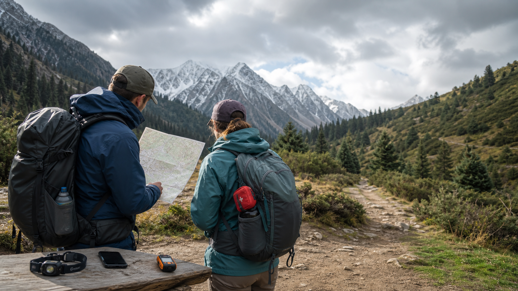
Conceptual preparation scene, not a named route or navigational map. Verify the real trail, forecast, access rules and turnaround point before leaving.
Altitude and weather
Almaty itself does not acclimatize a traveler for a rapid jump to a high sleeping elevation. The US Centers for Disease Control and Prevention warns that altitude illness becomes a risk above 8,000 feet and advises against traveling from low elevation to above 2,750 metres in one day. Above that level, its guidance is to raise sleeping elevation by no more than 1,600 feet, roughly 500 metres, per day and add an extra acclimatization day for each 3,300 feet, roughly 1,000 metres, gained.
Do not ascend while headache, nausea, unusual fatigue, or other altitude symptoms continue. If symptoms worsen at rest, descend. Confusion, loss of coordination, or breathlessness at rest can signal a life-threatening emergency that requires immediate descent and medical help. People with relevant heart, lung, blood, metabolic, or pregnancy considerations should discuss the itinerary with a clinician familiar with high-altitude travel.
Summer hazards include thunderstorms, hail, intense ultraviolet exposure, cold rain, and swollen glacial streams. Start early, turn around before the storm is overhead, and avoid exposed ridges when lightning develops. Cross meltwater streams at their lowest safe time and location; “the group ahead crossed” is not a risk assessment.
Winter and spring add avalanche danger. Resort opening does not make adjacent backcountry safe. Use a current local bulletin where available and travel with the training and rescue equipment appropriate to the terrain.
Rescue and communication
Call 112 in a mountain emergency, but plan as if help may take hours. Cell coverage can disappear soon after a trailhead. Save coordinates offline and know how to describe the valley, route, last known point, party size, and condition of the injured person.
Kazakhstan’s Ministry for Emergency Situations mountain-safety notice also tells travelers to check the route, hazard information, and forecast, use marked trails, and report the trip and expected return time through 112. Its formal advance-notification language applies to specified higher-risk travel in hard-to-reach, water, mountain, and cave settings. The requested details include group size and contacts, start and finish points, route length, and planned overnight or rest stops. Do not misread that scope as proof that every ordinary park walk has the same registration procedure; ask the land manager what applies to the exact route.
Sample itineraries by trip length
A realistic mountain itinerary concentrates on one region and leaves room for weather. These frameworks are intentionally route-neutral because closures and ability matter more than collecting famous names.
Two days from Almaty
- Day 1: lower or mid-elevation acclimatization walk with an easy transport exit.
- Day 2: one longer Ile-Alatau route chosen after the current forecast and park check.
Do not spend half of this trip driving to Kolsai unless the lakes are the main purpose.
Four days from Almaty
- Day 1: Almaty arrival and equipment/forecast check.
- Day 2: established day hike in the Trans-Ili Alatau.
- Day 3: second route at a different elevation or a transfer to Saty.
- Day 4: weather reserve, lake walk, museum, or departure.
The reserve day prevents one storm from turning the plan into unsafe catch-up travel.
Five to seven days in the south
Base around Shymkent and a chosen Sairam-Ugam gateway. Use the first day for park registration, food, transport, and guide checks; allocate two to four days to one approved route; keep the final day for return logistics. Do not combine this casually with an Almaty hiking program: the intercity transfer changes the whole schedule.
Eight or more days in the east
An Altai itinerary needs a flight or long rail/road approach, a regional transfer, and contingency time. Agree in writing on the actual trailhead, vehicle type, accommodation, meals, communication, and turnaround rule. Count travel days separately from trekking days.
For a remote multi-day route:
- carry a satellite messenger or personal locator device where legally supported;
- register the itinerary with the operator, park, or local contact when a process exists;
- build a turnaround day into transport bookings;
- leave technical glacier travel to a properly equipped, roped team;
- never count on a helicopter as the default evacuation plan.
Wildlife and low-impact travel
Protected mountain landscapes conserve rich biodiversity, but a regional species list is not a sighting promise and should not drive an itinerary. Do not seek or publish precise locations for sensitive wildlife.
Keep food controlled in camp, give animals distance, and follow park fire rules. In dry periods, a stove restriction or full fire ban can change quickly. Pack out rubbish, avoid shortcuts that widen trails, and do not approach livestock-guardian dogs aggressively.
Skiing and mountaineering
Shymbulak’s official site is the correct source for current lift status, operating dates, and tariffs. Any fixed price or run count in an evergreen article will age badly.
Khan Tengri belongs in specialist expedition planning, not in a normal hiking itinerary. Confirm summit data, border formalities, glacier conditions, acclimatization and rescue arrangements with a qualified operator instead of copying a height or superlative from a secondary travel page. For non-climbers, a lower Tian Shan itinerary delivers more mountain time with far less logistical and objective risk.
Our Kazakhstan skiing guide separates resort planning from backcountry decisions. For arrival-day transport, neighborhoods, and city logistics, use the Almaty guide before choosing a mountain pickup point.
Sources and verification
- Ile-Alatau National Park: official area, geography, landscapes, and activity overview.
- Sairam-Ugam National Park: the park’s own geography and cluster overview, dated route-passport statement, and application link.
- UNESCO Western Tien-Shan: transnational natural-heritage boundaries and significance.
- Shymbulak: live resort operations and tariffs.
- Kazakhstan Ministry for Emergency Situations: route preparation, advance notification for specified higher-risk trips, and 112 guidance.
- CDC high-altitude travel guidance: acclimatization and altitude-illness response.
- Kazakhstan hiking guide: route-planning detail and gear logic.
Frequently Asked Questions
What are the main mountain regions in Kazakhstan?
The main travel regions are the Trans-Ili Alatau near Almaty, the Western Tian Shan near Shymkent, the Kungey Alatau around Kolsai, the Dzungarian or Zhetysu Alatau, and the Kazakhstan Altai in the east. They require different bases and should not be treated as one destination.
Is Khan Tengri part of a normal hiking itinerary?
No. Khan Tengri belongs in specialist high-altitude expedition planning, not in a normal hiking itinerary or an add-on to an Almaty day-hike program.
Can I hike near Almaty without a tour?
Some established day routes can be hiked independently by prepared visitors, but access, weather, altitude, transport, and park rules still need checking. Remote, winter, glacier, and border-zone routes require stronger skills or qualified local support.
When is the best time for hiking in Kazakhstan?
There is no single reliable month for every region and elevation. Check the exact route's snow or ice, forecast, fire restrictions, stream crossings, road access, lift or gate hours, and daylight rather than relying on a national calendar promise.
Do I need a permit?
It depends on the exact national park, reserve, water-protection area, border zone, route, vehicle, and date. Confirm with the responsible authority and do not reuse a permit claim from another valley or an old blog post.
What number should I call in a mountain emergency?
Kazakhstan's general emergency number is 112. Remote rescue may be slow or impossible in bad weather, so share your route, carry offline navigation and insulation, and use satellite communication for isolated multi-day trips.
Last reviewed: August 22, 2026. Park and emergency-planning claims were checked against official Kazakhstan sources; UNESCO and CDC supply the international heritage and medical guidance. Volatile fees, permits, road access, and lift status are intentionally delegated to current authorities.
Google Preferred Sources
See more Kazakhstan stories in Google
Add About Kazakhstan as a preferred source to find more of our fresh, relevant stories in Google Search.
More Stories
travel
Kazakhstan Skiing: Shymbulak, Resorts & Safety
Plan a Kazakhstan ski trip from Almaty: compare Shymbulak and Ak-Bulak, check live lift conditions and costs, and separate pistes from avalanche terrain.
travel
Digital Nomad in Kazakhstan: Visas, Costs & Tax (2026)
Digital nomad in Kazakhstan: two visa types, Astana Hub 0% tax, real costs $1,000-1,500/month, family costs, schools, coworking, internet, and banking.
travel
Kazakhstan Weather by Month: Cities, Regions & Packing
Month-by-month Kazakhstan weather for Almaty, Astana, the south, west, and mountains, with climate context, hazards, and a practical packing matrix.
travel
Best Time to Visit Kazakhstan: Month-by-Month Guide (2026)
Choose when to visit Kazakhstan with a 12-month route planner, regional season advice, mountain-access checks, and sourced public holiday dates.
Plan the Next Step
travel
Kazakhstan Tourist Attractions: Choose the Right First-Trip Route
Compare Kazakhstan tourist attractions by base and logistics: Almaty nature, Turkestan heritage, Mangystau, Astana, Baikonur, and more.
food
Beshbarmak Recipe: How Kazakh Et Is Served
A source-checked guide to Kazakh et, widely called beshbarmak: what is on the platter, a practical home recipe, regional differences, and guest etiquette.
culture
Women in Kazakhstan: Rights, Work and Daily Life in 2026
Source-checked guide to women in Kazakhstan: current legal rights, dated work and wage data, marriage statistics, safety, and respectful language.
travel
Things to Do in Kazakhstan: 13 Places Worth Your Time
Choose the best things to do in Kazakhstan by trip length: Almaty, Charyn, Kolsai, Astana, Turkestan, Tamgaly, Altyn-Emel, food, and Nauryz.
travel
12 Best Day Trips from Almaty: Complete Guide 2026
Best Almaty day trips — Charyn Canyon, Big Almaty Lake, Kolsai Lakes, Tamgaly petroglyphs, Altyn-Emel. Distances, costs, and how to get there.
travel
Shymkent Travel Guide: City Sights, Food & Day Trips
Plan a Shymkent visit with reliable city clusters, food choices, Turkestan and Sayram options, live transport checks, and heat-aware itineraries.

Travel Writer & Local Expert · Almaty, Kazakhstan
Tugelbay Konabayev is a Kazakhstan-based travel writer who has lived in Almaty for 7+ years and Astana for 4+ years. He grew up in Aktobe, Kazakhstan and has covered Kazakh travel, food, culture, and visa policy with first-hand reporting since 2023.