Aral Sea, Kazakhstan: North Aral and Aralsk Travel Guide
Reported from the ground: Tugelbay Konabayev is a Kazakh native (born in Aktobe) who has lived 7 years in Almaty and 4 in Astana. About the author.
In this article5 sections
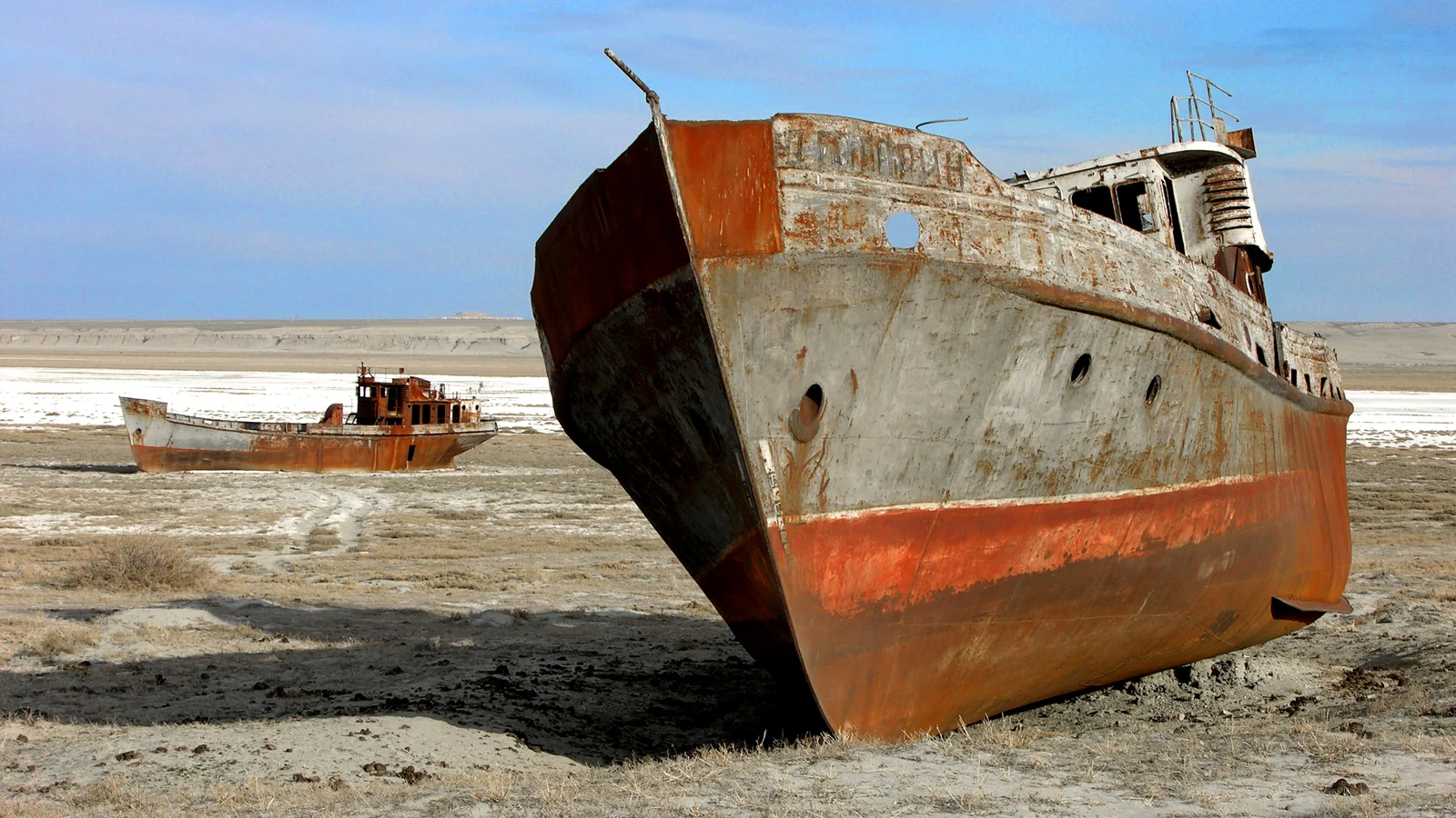
The Aral Sea is not one interchangeable destination. The North Aral Sea in Kazakhstan has partly recovered after the Kokaral Dam; the former shoreline near Aralsk still tells the story of retreat. A ship cemetery visit and a trip to the present water’s edge are different outings. Decide which one you want before booking a driver.
Cover: Zhalanash Bay in 2006, photographed by Zhanat Kulenov and shared via UNESCO, CC BY-SA 3.0 IGO. This historical image does not show today’s access or number of ships. Cropped and contrast adjusted; adapted image shared under the same license.

| Your goal | Base and next step | Important distinction |
|---|---|---|
| Understand the environmental disaster | Aralsk’s fishing museums and former harbour | Former shore is not the present sea |
| See historical fishing vessels | Start at the Fishermen’s Museum in Aralsk | A 2006 Zhalanash photo is not a current ship inventory |
| Reach present North Aral water | Arrange a separate route and current shoreline pin locally | Do not use an old map’s shore line |
| See the Kokaral Dam | Check access and travel time specifically | It is not a quick town-centre stop |
Map names: Арал / Aralsk, Солтүстік Арал теңізі / North Aral Sea, Жалаңаш / Zhalanash, Көкарал бөгеті / Kokaral Dam. Copy the Cyrillic or Kazakh version into your map; ask the driver which exact site they can reach.
What happened, and what has recovered?
The recovery concerns the northern basin, not the old Aralsk harbour. That distinction is essential when reading water-level headlines or choosing a photograph-led tour.
Large irrigation withdrawals from the Syr Darya and Amu Darya shrank the original sea. The World Bank’s restoration account explains how the Kokaral Dam, completed in 2005, raised water levels in the northern basin and helped fisheries return. Kazakhstan’s 2025 water ministry figures reported by Kazinform put the North Aral at 22.1 billion cubic metres and 3,065 square kilometres at that reporting date. Those are dated measurements, not a promise about the shore on your visit.
The southern basin lies mainly in Uzbekistan and has a different trajectory. Do not infer from the North Aral’s recovery that water has returned to Aralsk’s old harbour. That distinction is missing from many short travel summaries. Our Kazakhstan nature guide explains the wider environmental context.
The Syr Darya feeds the northern basin; that river context helps explain why the Kokaral project concerns one part of the former sea.
A realistic Aralsk plan
Start with the town’s documented fishing history, then decide whether a remote drive is worthwhile. Museum access is easier to verify than a changing former-shore landscape.
Use Aralsk as the logistics base. The Kyzylorda regional museum’s branch guide gives a concrete first stop: the Fishermen’s Museum (Балықшылар музейі), which documents fishing history and displays the Lev Berg vessel attached to its building plus three other historical boats in the yard. The network also lists an Aral district history museum and an Aralsk city history museum; confirm which branch is open on your date.
The former shoreline at Zhalanash is a separate remote trip. We have not verified how many abandoned hulls remain there in 2026. Do not pay for a shipwreck excursion based on the 2006 cover image or an old blog: ask the driver for a recent photo, exact GPS pin, vehicle type and round-trip quote. Kazinform’s February 2025 water report describes restoration, not a visitor route or current shore distance. Confirm waiting and return transport in the quote.
Allow a spare day if the sea itself matters to you. Roads, weather and access can disrupt a remote excursion. Carry drinking water, sun protection and offline maps; do not approach unstable vessels or drive onto unknown salt flats. Check the Kazhydromet forecast before leaving town.
How to fit it into a Kazakhstan route
Aralsk is a dedicated detour, not a casual excursion from Kyzylorda. Check current rail schedules to the town and confirm onward ground transport before committing nights. Combine the stop with a longer west–south rail route only if you have time for a possible weather or vehicle delay. If you have a short first trip to Kazakhstan, the extra travel may outweigh a single photo stop.
Three different Aral Sea trips
The right itinerary depends on whether you want history, a former shoreline or present water. These are separate places and separate questions for a local driver. The World Bank restoration account explains the north-basin project; it does not provide a sightseeing route. The regional museum network documents specific collections in Aralsk; it does not certify the condition of any distant ship site. Keep those evidence types separate when comparing tour descriptions.
For a town-focused visit, confirm the Fishermen’s Museum and one of the history-museum branches, then walk the former harbour area with an understanding that its position reflects the retreat. Ask staff where the displayed vessels came from and which exhibits explain local fishing before and after the sea’s decline. This plan still works if a remote road excursion is cancelled, and it helps avoid treating environmental loss as just a photo opportunity.
For a former-shore visit, obtain a recent image and exact coordinates for the particular stop. “Ship cemetery” may refer to a photograph or an old route description, not an inventory of hulls available to see today. Ask when the operator last drove there, what vehicle is used, where passengers can safely walk and whether the quote includes waiting time and the return to Aralsk. A historical Zhalanash photograph is useful evidence of what the landscape looked like in 2006; it cannot answer those present-day questions.
For present North Aral water, ask for the current approach and shore pin, not merely the phrase “Aral Sea”. Seasonal levels and access matter more than a straight-line distance on a map. Confirm whether the operator means a developed recreation area, an informal shore or a viewpoint and what facilities exist there. The North Aral’s improved water level does not imply that every old access road or harbour is at the water’s edge.
Sources checked
- World Bank: Restoring the Aral Sea
- Kazinform: North Aral restoration, 10 February 2025
- Kyzylorda regional museum: Aralsk branches and Fishermen’s Museum
- Kazhydromet: current forecast
Frequently Asked Questions
Has the Aral Sea recovered in Kazakhstan?
The North Aral Sea has partly recovered after the Kokaral Dam, but the original sea and Aralsk's former harbour have not returned to their old condition.
Can I see the sea from Aralsk town?
Do not assume the present water is at the old harbour. Arrange a specific current shoreline destination and return transport with a local operator.
Can I still see the ships in the old Zhalanash photos?
Those photos are historical, and we have not verified how many hulls remain at Zhalanash today. Aralsk's Fishermen's Museum displays historical fishing vessels; confirm current opening and any separate shoreline trip locally.
Last reviewed: September 2026. Shoreline, roads, access and transport must be confirmed for your travel date.
Google Preferred Sources
See more Kazakhstan stories in Google
Add About Kazakhstan as a preferred source to find more of our fresh, relevant stories in Google Search.
More Stories
travel
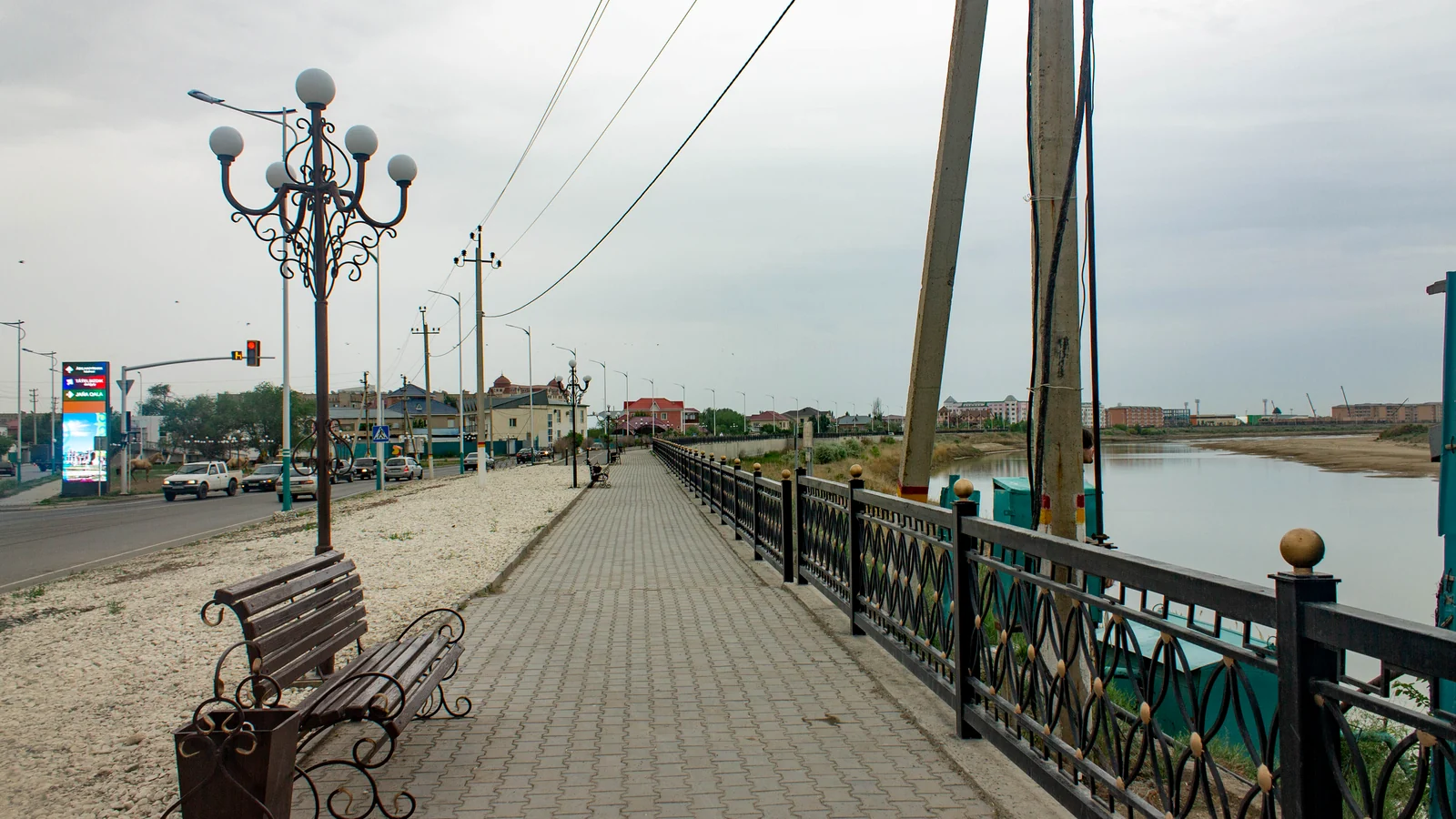
Kyzylorda, Kazakhstan: City Stop and Regional Trip Base
Plan a stop in Kyzylorda on the Syr Darya, then decide which regional sights merit a separate trip. Baikonur access and museum checks explained.
travel
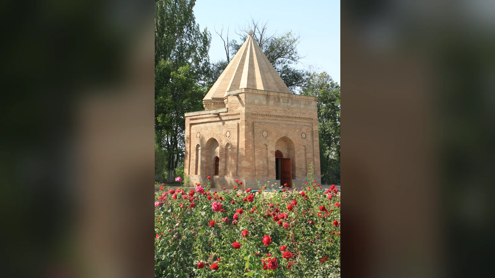
Taraz, Kazakhstan: A Practical Silk Road City Guide
Plan Taraz around the Ancient Taraz site, Karahan Mausoleum, Aisha Bibi and Akyrtas. A realistic one- or two-day route with transport checks and local sources.
travel
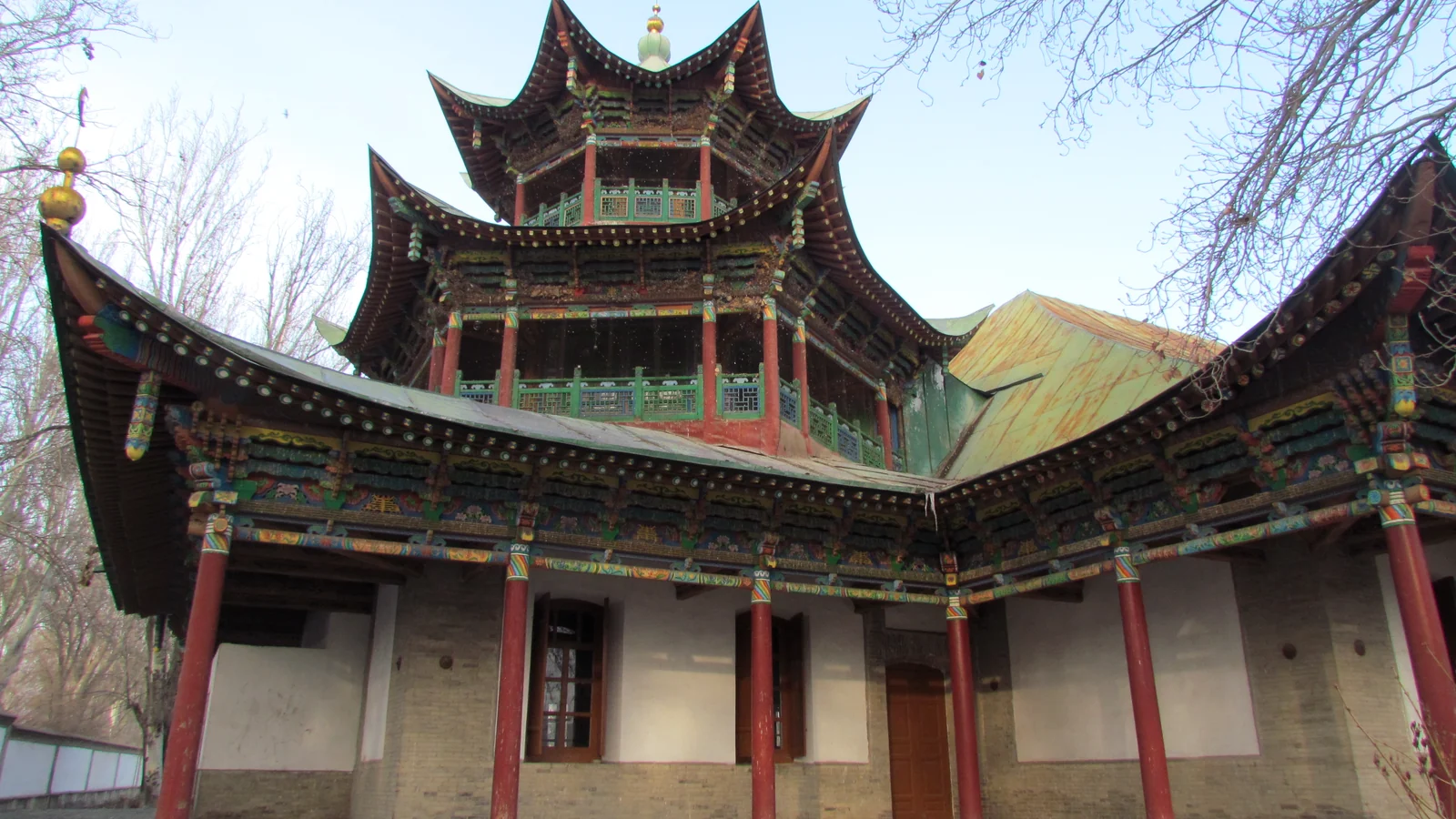
Zharkent, Kazakhstan: Mosque Museum and Visit Guide
Explore Zharkent's nineteenth-century mosque museum and its architecture, then decide how the town fits a route through Zhetysu Region.
travel
Karaganda, Kazakhstan: City Guide & Dolinka Planning
Plan a thoughtful Karaganda visit around the modern city, industrial history, live logistics and a separate respectful trip to the Karlag museum.
Plan the Next Step
travel
Kazakhstan Tourist Attractions: Choose the Right First-Trip Route
Compare Kazakhstan tourist attractions by base and logistics: Almaty nature, Turkestan heritage, Mangystau, Astana, Baikonur, and more.
food
Beshbarmak Recipe: How Kazakh Et Is Served
A source-checked guide to Kazakh et, widely called beshbarmak: what is on the platter, a practical home recipe, regional differences, and guest etiquette.
food
Popular Food in Kazakhstan: 15 Foods and Drinks to Try
Popular food in Kazakhstan explained: 15 Kazakh dishes and drinks, what each contains, how meals are served, and what to ask before ordering.
travel
Things to Do in Kazakhstan: 13 Places Worth Your Time
Choose the best things to do in Kazakhstan by trip length: Almaty, Charyn, Kolsai, Astana, Turkestan, Tamgaly, Altyn-Emel, food, and Nauryz.
travel
12 Best Day Trips from Almaty: Complete Guide 2026
Best Almaty day trips — Charyn Canyon, Big Almaty Lake, Kolsai Lakes, Tamgaly petroglyphs, Altyn-Emel. Distances, costs, and how to get there.
travel
Kazakhstan Travel Cost Index 2026: Prices in 20 Cities
Compare official 2026 hotel, bus, cinema, fuel and grocery prices across 20 Kazakhstan cities. Use the city comparison tool and download the CSV/JSON dataset.

Travel Writer & Local Expert · Almaty, Kazakhstan
Tugelbay Konabayev is a Kazakhstan-based travel writer who has lived in Almaty for 7+ years and Astana for 4+ years. He grew up in Aktobe, Kazakhstan and has covered Kazakh travel, food, culture, and visa policy with first-hand reporting since 2023.